

Remote region faces most dangerous cyclone in a century
By ROBYN WUTH
The biggest cyclone to hit a flood-ravaged region in more than a century is barrelling toward northern Australia, forcing Indigenous communities to flee their homes.
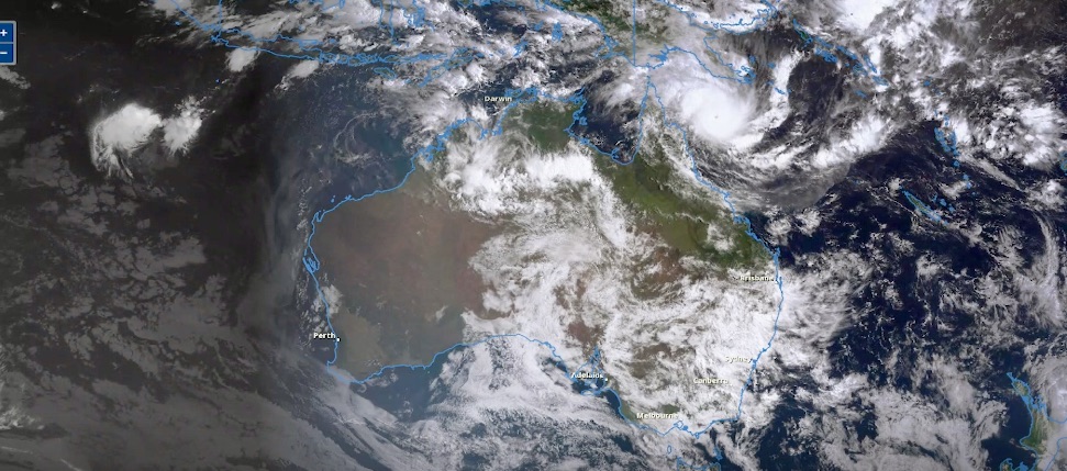
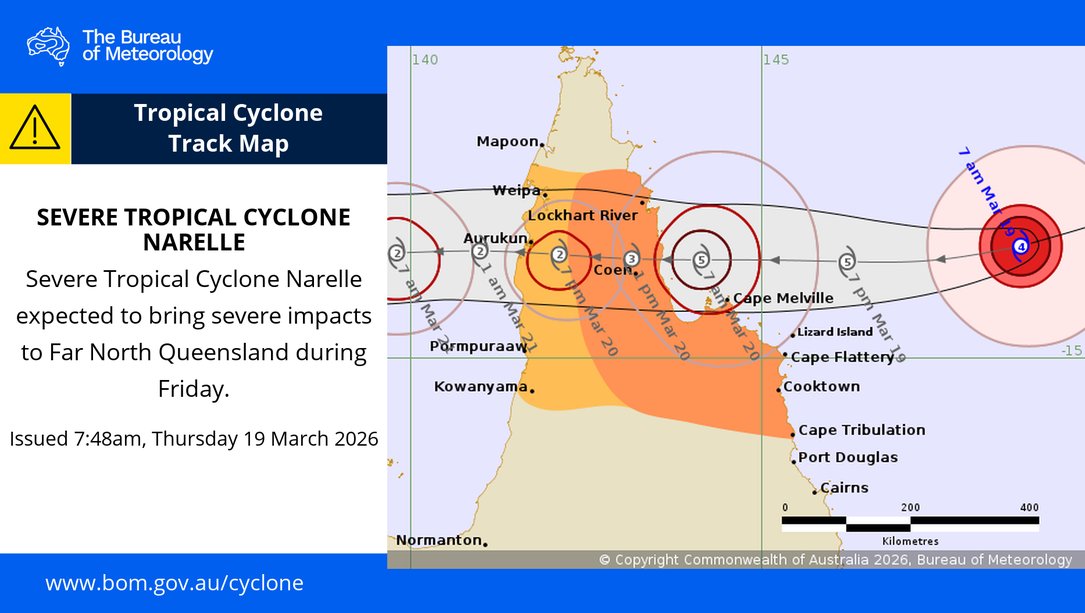
Tropical Cyclone Narelle has been upgraded to a maximum category five system after intensifying in the Coral Sea, producing wind gusts up to 285km/h as far north Queensland braces for impact.
The monster storm is expected to make landfall around 10am AEST on Friday near the remote community of Coen, north of Cairns, triggering downpours and gusts that could “blow apart sheds”.
The massive storm is expected to hit the Northern Territory after Queensland.
It would mark the first category five system to hit the Cape York region since Cyclone Mahina killed more than 300 people in March 1899.
Narelle will be just the fourth category five cyclone to cross the Queensland coast in a half a century, Premier David Crisafulli said.
“It’s a serious event, a significant event, and we’re asking people to take precautions,” he told reporters on Thursday.
Residents in the cyclone warning zone extending from Lockhart River south to Cape Tribulation have battened down the hatches as they prepare for potentially deadly weather.
The region is already reeling from flooding after it was impacted by back-to-back tropical lows in recent months.
Vulnerable residents have been evacuated, tourists have flown out on the last remaining flights and schools have been closed in the warning zone.
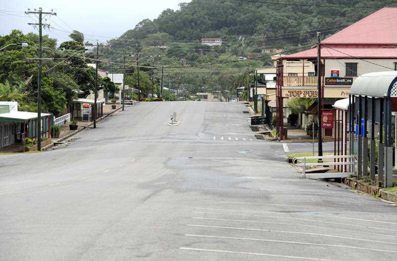
Cooktown expects to feel the brunt of Tropical Cyclone Narelle in coming days. (Dan Peled/AAP PHOTOS)
More than 100 emergency services personnel have been sent north, with police going door-to-door to ensure locals are prepared.
“The type of wind that is being predicted is the sort of thing that will blow apart sheds, that will blow caravans down roadways and create fields of airborne debris,” Queensland disaster co-ordinator assistant commissioner Chris Stream said.
“Those types of objects being propelled at over 100km/h will have a fatal outcome.”
Rainfall in excess of 500mm is expected from Thursday across Cape York.
Shipping containers of supplies have arrived and emergency generators placed on standby, while the region has been told it will lose power.

Queensland Premier David Crisafulli says electricity supplies are expected to be impacted. (Jono Searle/AAP PHOTOS)
Mr Crisafulli said there was no sugar-coating the expected impact from the storm.
“The damage will be widespread with a system of that size, and that will mean reconnecting the electricity system will be a big challenge,” he said.
“They’re up to the job … but we’re dealing with remote areas.”
Residents choosing to ride out the storm have been warned that emergency services will not respond if conditions are too dangerous.
After crossing Cape York, the storm is expected to lash the Northern Territory’s Top End before moving into Western Australia’s Kimberley coast.
About 500 people will be evacuated from NT’s remote Gulf of Carpentaria community of Numbulwar in the coming days.
The destructive system has picked up speed as it hurtles toward the far north and is currently travelling at 25km/h.
“This has the potential to be a very dangerous weather event,” Prime Minister Anthony Albanese said on Thursday.
“The Commonwealth stands ready to provide whatever assistance is required for both Queensland and for the Northern Territory.”
AAP