
Where science meets traditional knowledge in restoring former cotton country
Traditional Owners, UNSW scientists, government and conservation groups have joined forces to get Gayini wetlands thriving again.
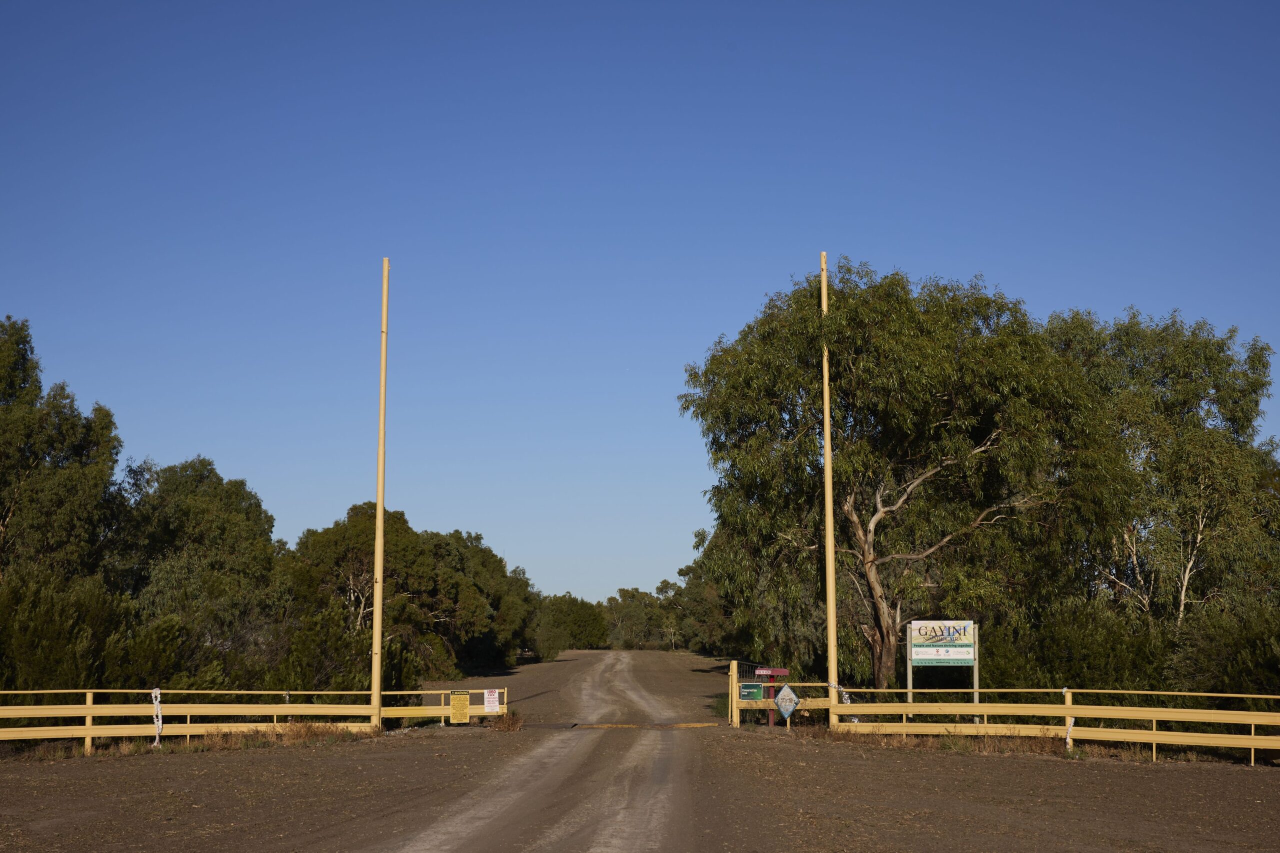
Gayini – meaning “water” in the Nari Nari language – is part of 80,000 hectares of culturally and ecologically rich land in south-west NSW, owned and managed by the Nari Nari Tribal Council, an Aboriginal-led not-for-profit organisation.
Conservation scientists from UNSW Sydney’s Centre for Ecosystem Science – supported by Charles Sturt University, Commonwealth Environmental Water Holder, The Nature Conservancy, the Murray Darling Wetlands Working Group, and the NSW Biodiversity Conservation Trust – are working with the Nari Nari Tribal Council to measure how this landscape can recover after more than two centuries of land and water exploitation.
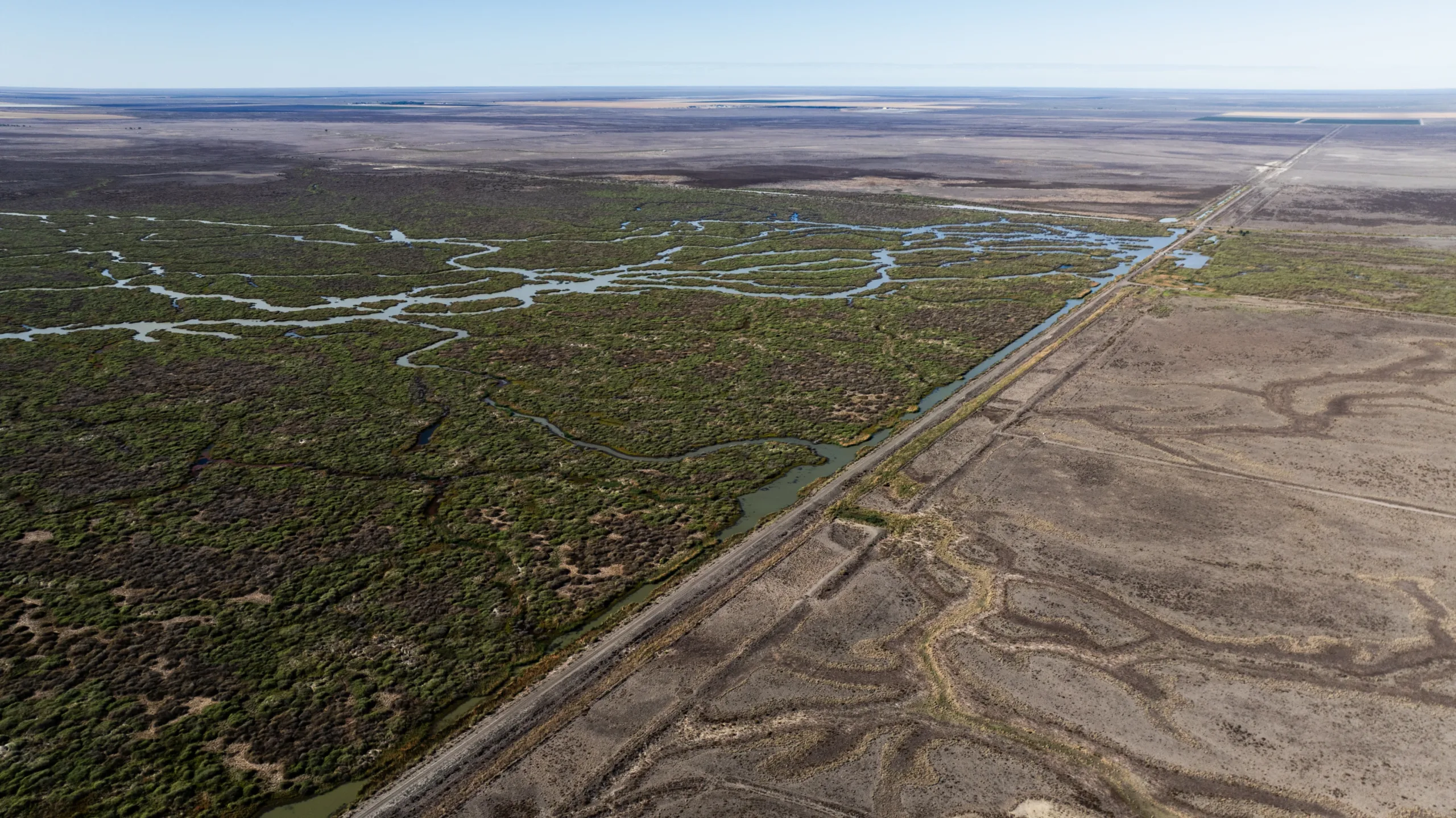
A striking line divides the natural wetlands from laser-levelled irrigation land on Gayini country. On one side, signs of growth and renewal. On the other, the scars of destructive development.
These practices that have led to ecosystem degradation, the spread of invasive species, and the decline or extinction of native flora and fauna.
Kai Hearne, 20, is a ranger employed by the Nari Nari Tribal Council on the Gayini wetlands, and has been working in its conservation and land restoration program since 2022.
A proud Wiradjuri man from Griffith, Kai was lucky to land his dream job at Gayini after stints working in building and retail that never really grabbed him.
“I wasn’t really interested in school much,” he said.
Loves the work
“Like, I honestly hated it! Then I saw a brochure for ranger work through the Aboriginal Learning & Education Centre, and I knew it was me. I’d always wanted to do something with national parks, and here I am, almost four years later.”
Apart from being in an environment he connects with on vocational and cultural levels, Kai says he loves the variety of the work.
“It can really vary between different things,” he says. “One week I’m trapping pigs or running bait programs for foxes; the next I’m out doing vegetation surveys or moving cattle to new paddocks. There’s always something happening out here.”
The Gayini wetland is part of the Lowbidgee floodplain, a vast network of complex channels that crisscross the landscape. Together with Yanga National Park, it forms the largest remaining wetland area in the Murrumbidgee Valley within the southern Murray–Darling Basin.
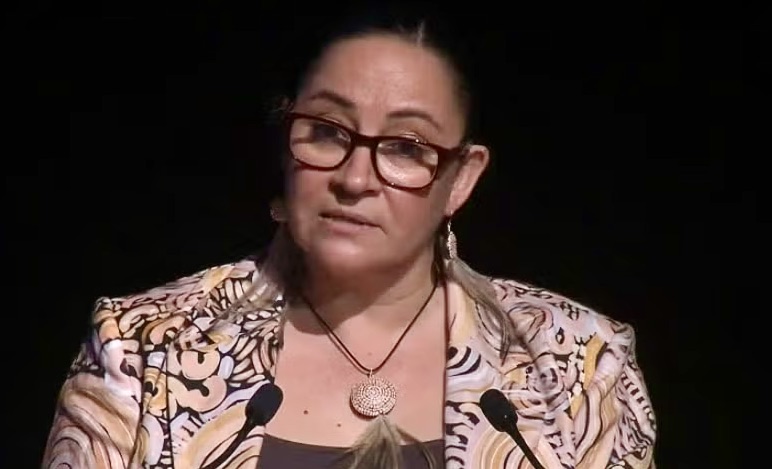
“By restoring natural flooding regimes and managing livestock grazing, our collaboration with the Nari Nari Tribal Council is a study of how Country responds when it’s given a new lease on life,” UNSW’s Professor Richard Kingsford said.
The Nari Nari Tribal Council manages Gayini with the aim of protecting and restoring the landscape and Aboriginal Cultural Heritage values, and creating sustainable economic value.
Nari Nari Tribal Council chair a Consortium of partners who assist in this management, including The Nature Conservancy, the Murray Darling Wetlands Working Group and UNSW’s Centre for Ecosystem Science.
Knowledge about land management, culture and how to protect the rich biodiversity of the area flows both ways between Traditional Owners and conservation scientists from UNSW.
The research at Gayini centres on understanding how two major forces — flooding and grazing — shape the vast wetland ecosystems of the region. These processes can influence which plants flourish, how weeds spread, and how the landscape recovers after disturbance.
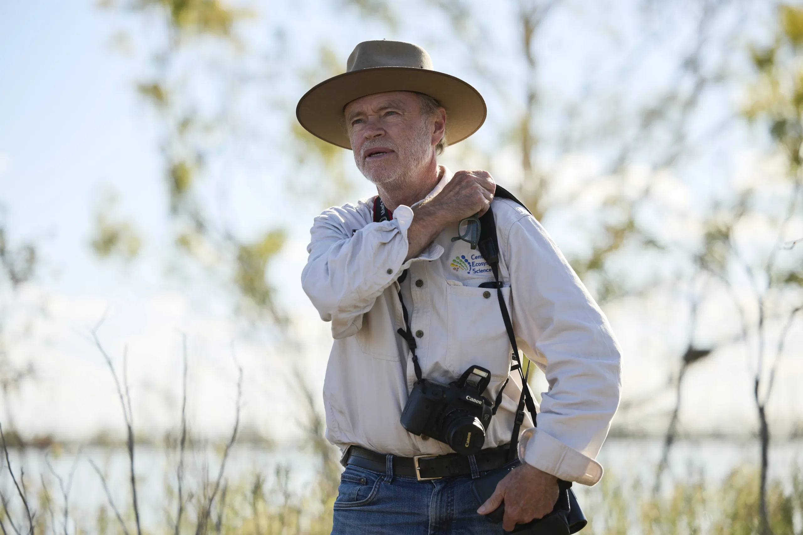
Professor Kingsford says the focus is to improve how data is collected and shared across the landscape.
“If we can understand the separate and combined effects of water and grazing, we can give land managers like the Nari Nari Tribal Council, clearer tools for restoring Country,” Prof. Kingsford said.
“In particular, we’re exploring how light grazing might help manage weeds without putting pressure on recovering vegetation.”
To track how the landscape is changing, the researchers will return in April 2026 to measure more than sixty survey plots.
“These plots act as reference points across the wetlands, helping us understand how plant communities respond to different conditions over time,” Prof. Kingsford said.
“Our major focus is to improve how data is collected and shared across the landscape, ensuring the Nari Nari Tribal Council has access to the most up-to-date information for managing land and water on their country.”